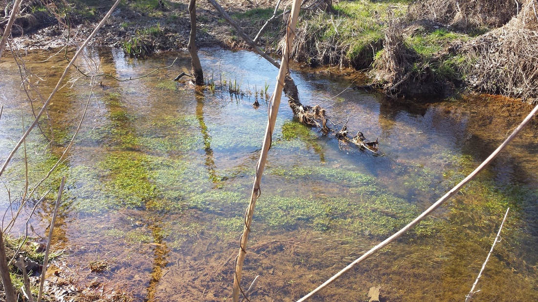
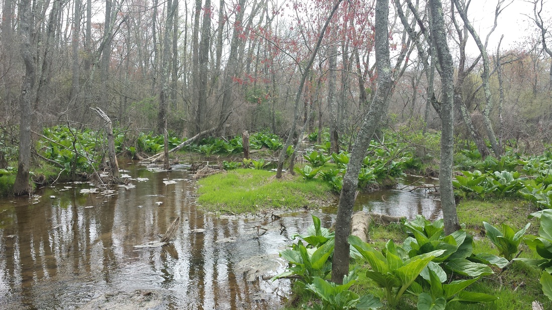
A riparian buffer, also known as a riparian forest corridor, is the area along a stream that contains trees, shrubs and native plants "buffers" the aquatic environment from the developed landscapes adjacent.
|
Riparian forest contain plant life that are adapted to re-current inundation from floods that provide the main food source to the aquatic macro-invertebrates while providing ample shade to cool streams.
|
|
Projects
|
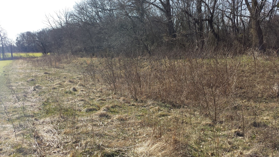
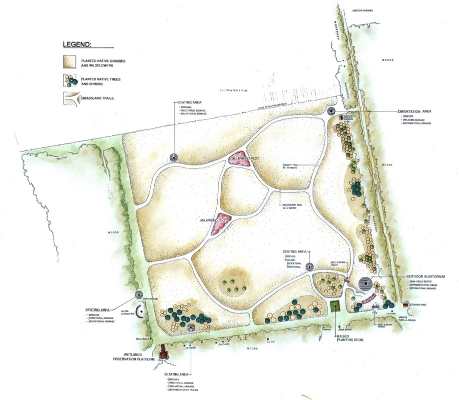
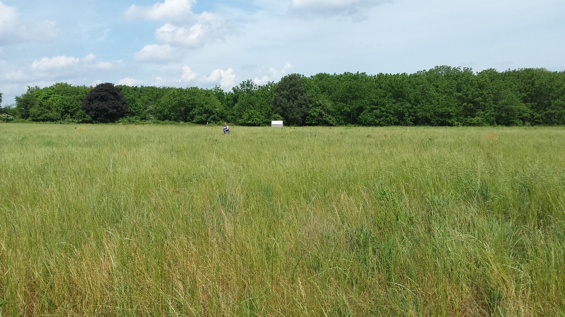
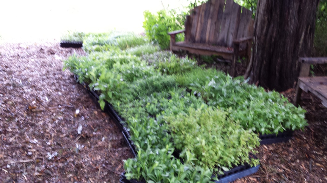
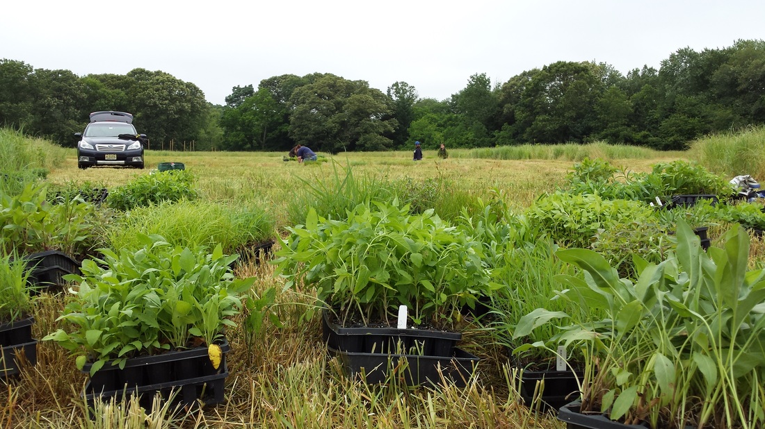
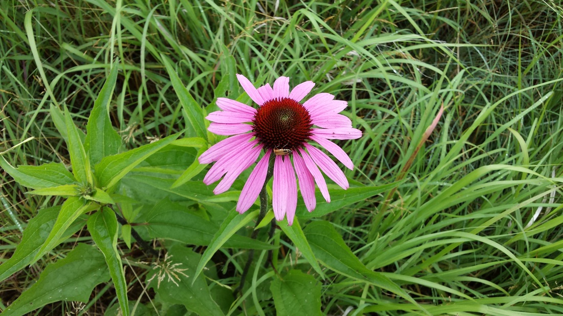
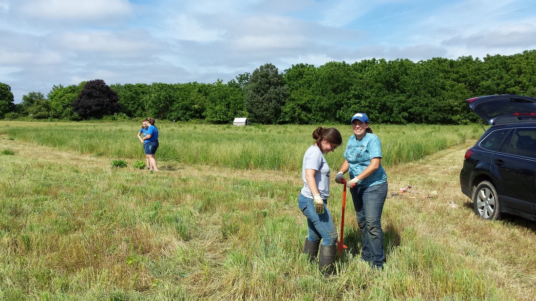
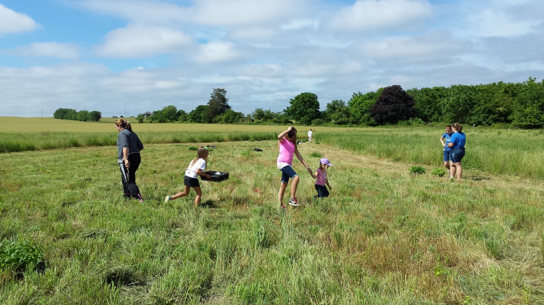
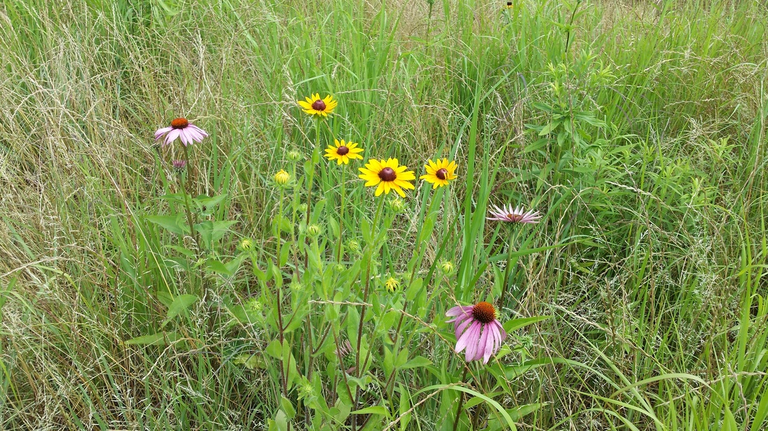
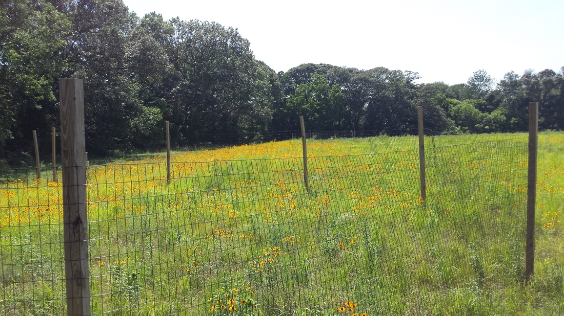
Barretts Run Grassland & Afforestation ProjectHopewell, Township, Cumberland County, NJ
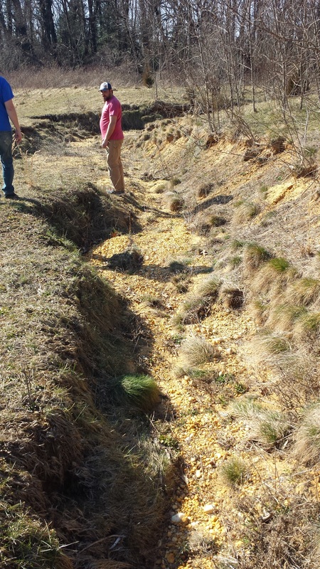
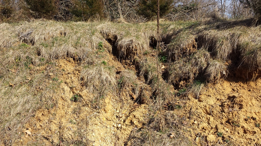
The Barrett’s Run Grassland Restoration project is a collaborative effort between Hopewell Township, U.S. Fish and Wildlife Service and the American Littoral Society to replant a former farm field with native grasses, trees, and shrub species to promote water infiltration and habitat for birds, animals and pollinating insects. Prior to this effort, the field was farmed to within 30 feet of the wetlands which contributed to sedimentation and nutrient loading of the adjacent waterway. This 7.5-acre grassland project intends to restore natural conditions to the land and act as a buffer to Barrett’s Run and its wetlands. The grasses and trees within this riparian area will reduce agricultural and stormwater runoff into our local waterways. An additional aspect of this project is the establishment of a “living classroom” which can be used for educate local students and the general public about wetlands, habitats, and the need to protect our water resources. The grassland has been designed to encourage individual and group discovery on environmental topics. Within the grassland, we have created five educational nodes: riparian buffers, wetlands, grasslands, pollinators, and impacts of habitat loss. This project was made possible through funding provided by the National Fish and Wildlife Foundation and the William Penn Foundation and with support from the U.S. Fish and Wildlife Service’s Partners Program. |


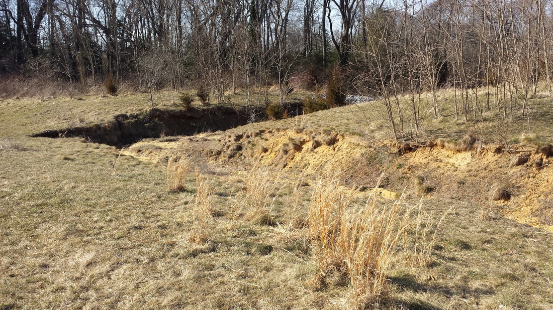
Cumberland Insurance Buffer Project
|
Hopewell, Township, Cumberland County, NJ
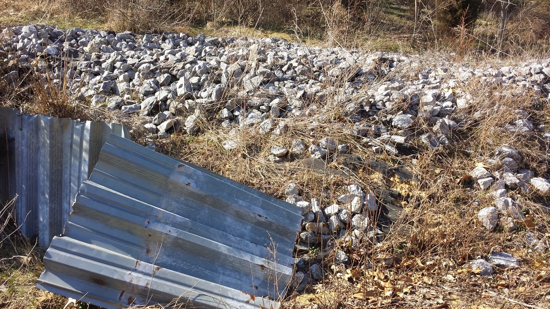
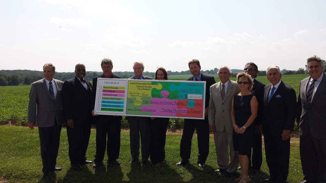
Beginning fall 2016 Building on the success of its previous grassland restoration project along Barrett’s Run, the American Littoral Society begin addressing the opposite side of the creek. Having received a grant from the National Fish and Wildlife Foundation we improve the riparian buffer along 2,000 linear feet of a currently farmed field (approximately 60 acres). This will be done using native grasses, baffles, shallow infiltration basins, bioswales, and strategic plantings. We will plant native grasses on 2.5 acres along the edge of farmland. Supplement the native grass buffer with plantings of native trees and shrubs. The grassland will act as a filter for runoff before it can enter Barretts Run. Develop systems to slow the movement of runoff from the farm fields and adjacent commercial uses. By implementing a series of tiered rain gardens, strategic tree and shrub plantings, and hardscape baffles we hope to slow the velocity of runoff. |
|